Among the ASEAN Member States, Myanmar ranks second to Indonesia in terms of biodiversity. Because of its location, Myanmar has a mixture of wildlife species from the north, south, and southeast Asia. It has 15 biodiversity corridors that serve as linkages between key biodiversity areas.[1]
Myanmar has seven AHP with Nat Ma Taung as the youngest in the list. All of these AHPs are key biodiversity areas which covers a variety of landscape. Under the SGP, four AHPs are being supported: Alaungdaw Kathapa National Park (AKNP), Nat Ma Taung National Park (NMTNP), Indawgyi Lake Wildlife Sanctuary (ILWS), and Meinmahla Kyun Wildlife Sanctuary (MKWS).
The first call for proposals of SGP I – Myanmar focused on the development of Collaborative Management Plans (CMP). These CMPs were already approved and adopted by the Forest Department of the Ministry of Natural Resources and Environmental Conservation (MONREC) last 27 February 2018. It will serve as basis for succeeding interventions in the AHPs.
A. Alaungdaw Kathapa National Park (AKNP)
AKNP covers an area of 159,761 hectares and houses the shrine and a reclining figure of Maha Kathapa, Buddha’s Sainty Disciple. It is located in Mingin and Kani townships of Sagaing Division.
Some of the threats in the National Park include: small-farmer market-oriented agriculture, exploitation of wildlife and forest products, and management unit capacity.
SGP interventions shall aim to reduce small scale farming, illegal selective logging, hunting of wildlife and unsustainable collection of NTFPs and fuelwood. It may also resolve solutions for mining issues.
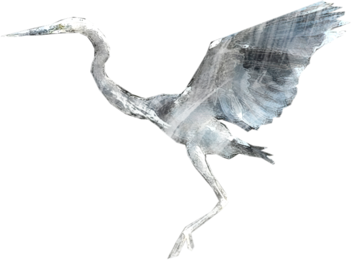
B. Indawgyi Lake Wildlife Sanctuary (ILWS)
ILWS is a 77,525-hectare home for waterfowls and their habitats. It is located in Mohnyin Township, Kachin State, Myanmar.
Threats in the Sanctuary include traditional agriculture, exploitation of wildlife and forest products, over or destructive fishing, local mining, boundary conflicts and land claims, management unit capacity, and management planning.
At ILWS, the interventions shall assist reducing overfishing, pollution, watershed degradation, and local mining. Support will also be given to more sustainable recreational use of the site.
Aside from being an AHP, ILWS is also a Ramsar site and a Biosphere Reserve. This opens more funding opportunities for the Sanctuary.
C. Meinmahla Kyun Wildlife Sanctuary (MKWS)
MKWS protects the remaining mangrove forests of Myanmar. It also serves as a refuge of estuarine crocodiles and resident and migratory water and shore birds; breeding ground for fish and prawns; research area for the conservation of mangroves and wildlife; and as an environmental education centre. It has an area of 13,700 hectares, and is located in Bogale Township of Ayeyarwady Division.
Some of the issues in the Sanctuary include traditional agriculture, small-scale logging or fuelwood, and management unit capacity. SGP interventions shall reduce illegal fishing and mangrove cutting inside the reserve, as well as threats to the endangered reptiles found within the site.
D. Nat Ma Taung National Park (NMTNP)
NMTNP is the “plan hunter’s paradise” because of its floral diversity. It features Mt. Victoria (called in Chin language as Khaung Neu Thom or “Earth Mother Goddess”), the highest mountain in Chin Hill, Chin State. It has an area of approximately 722,600 hectares in Kanpetlet, Matupi and Mindat Townships.
At NMTNP, the interventions shall reduce traditional agriculture (shifting agriculture), uncontrolled grazing, unsustainable NTFP collection, illegal selective logging, and wildlife hunting.
[1] https://myanmarbiodiversity.org/
#